ACEMS researchers are set to lead an international workshop being put on by the United Nations.
The UN has invited representatives from ten Asian countries to take part in the workshop that will focus on how to use data from satellite imagery to unlock valuable insights about those countries.
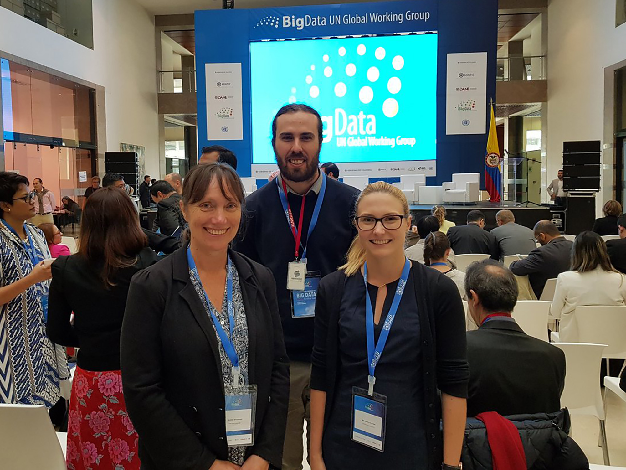
kerrie-jacinta-unconf.jpg
Kerrie Mengersen (left) and Jacinta Holloway (right) pictured with Michael Holt (ABS) at last year's UN Conference on Big Data in Colombia
“The aim is provide participants with hands on skills in running these analyses themselves, including ready to use code and examples stepping them through from wrangling a satellite image file to producing statistics based on that data. The participants can then use these types of data and methods to find insights about their own country in ways they couldn’t before” said Jacinta.
Satellite imagery data can be used to examine things like poverty, the movement of populations, disease, and threatened species. But one of the key ways the satellite imagery data can be used is to monitor the environment, such as water quality, deforestation, and agriculture.
Many countries don’t have the money or the resources to run regular and specific surveys, so the satellite data combined with advanced statistical modelling can help them get an idea about what’s going on.
“For example, if a government wanted agricultural information to inform policy decisions and aren’t able to survey farmers to get that, it can use free satellite imagery and some well-established models to get some indication about things like what types of crops farmers are growing and their crop yield,” said Jacinta.
The “Earth Observations for Official Statistics” Workshop in Bangkok will teach these countries how to obtain and how to use this vast amount of free data coming from satellites. The ACEMS team will specifically teach them how to take that data and get important statistics out of it.
Kerrie and Jacinta travelled to Colombia in late 2017 to run a two day version of the workshop and present at the United Nations Conference on Big Data. Since then, the UN asked the researchers to expand the workshop to 5 days and collaborate with more international partners, including Microsoft and NASA.
The workshop in Bangkok expands on what they’re teaching, and will be more in depth when it comes to working with satellite imagery and the statistical modelling that is involved with it.
“We’ve been developing methods and models for producing these statistics so that these countries will have the tools they need to unlock some of this data,” said Jacinta.
Kerrie and Jacinta also contributed as authors to a handbook released late last year by the UN Task Team on Satellite Imagery and Geospatial Data. The handbook shows the different types of earth observations data, the sources for it, and how the data produces statistics.
“This report examines questions like, what is earth observation data, what does satellite data look like and how do we analyse it. Also, how do we store the data and what is the purpose of it for official statistics,” said Kerrie, who is a Distinguished Professor of Statistics at QUT.
The countries sending representatives to the workshop include China, India, Bangladesh, Indonesia, Malaysia, Pakistan, Philippines, Vietnam, and Thailand.
ACEMS Media Contact: Tim Macuga, 07 3138 6741, timothy.macuga@qut.edu.au